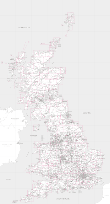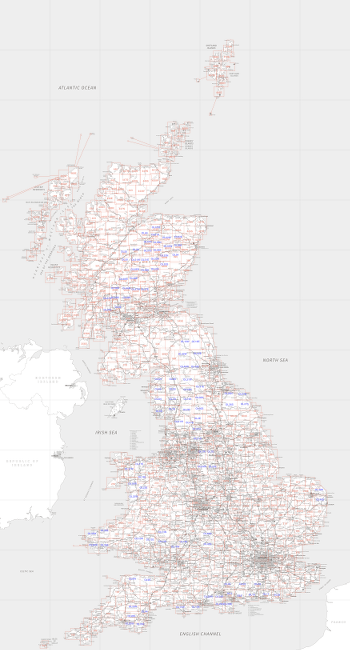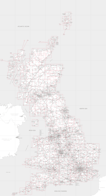


These index maps were produced using the freely available "Miniscale" map from the Ordance Survey as the base map, and my Perl module. You can find a comprehensive catalogue of these maps (and many more) on Les Watson's map site.
Click on the maps for the full resolution versions (about 15M bytes each).
| Landranger 1:50000 series | Explorer 1:25000 series | Old One-Inch Seventh Series 1:63360 |
|---|---|---|

| 
| 
|
I have been climbing hills in Scotland many years, here is a diary of my walks in case you'd like to see how they went.
A work-in-progress on producing TeX-friendly mathematical and technical drawings. For details, see this PDF file.